Before the addition of direction finding, Bluetooth® Location Services solutions relied solely on received signal strength information (RSSI) to identify how close two Bluetooth devices were to one another, providing meter-level accuracy to determine general proximity. So, an app on your smartphone could let you know that your misplaced wallet (provided it included a Bluetooth tracker) was somewhere in the living room, but the rest of the hunt was on you.
In the video above, Intro to Bluetooth Direction Finding, Mohammad Afaneh provides a complete look at the four essentials for how Bluetooth technology is using direction finding to enhance location services.
Bluetooth Direction Finding
The latest version of the Bluetooth® Core Specification supports an optional feature that allows for the detection of signal direction. By identifying the angle of signal arrival at the receiver’s end or determining the angle of signal departure at the transmitter’s end, a Bluetooth device can determine direction and signal accuracy down to the centimeter level.
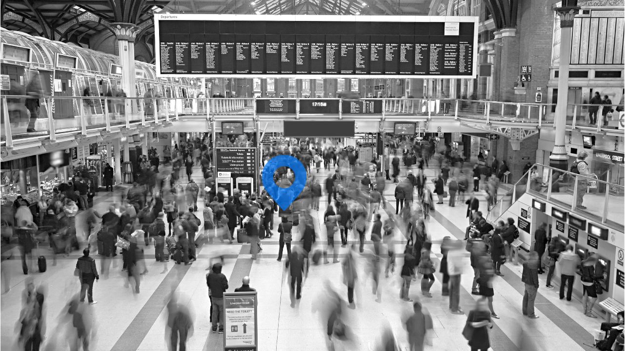
Proximity solutions, such as those used by retailers and museums to notify nearby visitors of relevant information, stand to reap significant benefits from this advancement. Using Bluetooth Low Energy RSSI, proximity solutions can determine how close two Bluetooth devices are to each other with greater precision. So, a tag or beacon attached to a display case could send relevant data — like information about a piece of artwork or a two-for-one promotion going on at your favorite clothing store — to your smartphone when you’re nearby.
Imagine a room in a museum with multiple exhibits that have associated beacons. With Bluetooth direction finding support, an app on your smartphone could not only provide information about all the exhibits in the room, but you could simply point your smartphone at a specific exhibit to get more information on that piece.
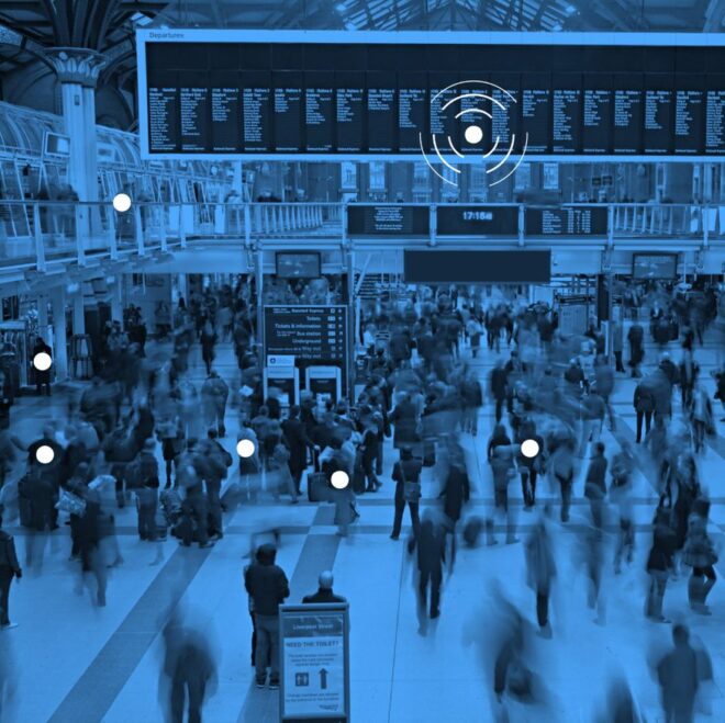
Positioning Systems, such as those used to track assets or support indoor navigation where GPS has limited accuracy, will also be greatly improved by these new capabilities. Using real-time locating services (RTLS), positioning systems can more accurately understand where nearby devices are located. Beacons positioned around a facility can communicate with tagged assets in a warehouse to know the location of a specific pallet or forklift. Similar beacons in a shopping mall can be used to locate the position of your smartphone and help you get to a specific store, restaurant, or the nearest restroom.
For years, this technique allowed positioning systems to achieve meter-level accuracy when determining the location of a specific device. Now, with the addition of enhanced Bluetooth direction finding, these systems can use both signal strength and direction to determine the location of a device, achieve centimeter-level accuracy.
Trilateration vs Triangulation
Using trilateration and triangulation, real-time locating systems (RTLS) can determine a device’s location. Locating a tagged pallet in a warehouse or medical equipment in a hospital are good examples of trilateration. Trilateration relies on time of flight to calculate distances from three or more transmitters in a facility to the tagged device. Once calculated, the distances are translated into location coordinates for the device being tracked.
Trilateration can also be used to create solutions that help you navigate through a shopping mall or sports arena. However, Bluetooth® direction finding capabilities let you build those same wayfinding solutions with triangulation to achieve greater accuracy. With triangulation, angles of signals sent or received by devices in fixed locations are used to determine the location of your smartphone.
Mohammad notes in the video above that both methods can be combined to increase location accuracy. By combining angle of arrival and angle of departure with RSSI, you can more accurately estimate the location and distance of a device.
![]()
FEATURED DOWNLOAD
Enhancing Bluetooth Location Services with Direction Finding
A new Bluetooth direction finding feature allows devices to determine the direction of a Bluetooth signal, thereby enabling the development of Bluetooth proximity solutions that can understand device direction as well as Bluetooth positioning systems that can achieve down to centimeter-level location accuracy.
Angle of Arrival
![]()
Angle of arrival (AoA) is used to track moving transmitters attached to mobile equipment like forklifts in a warehouse or patients in a hospital. As Mohammad discusses in his video, with AoA, the device being tacked uses a single antenna to transmit the signal. The receiver is equipped with an array of multiple antennas that it uses to estimate the angle of the signal being transmitted. The AoA is calculated based on the difference in phase shift as the transmitted signal is received at each antenna. Since the distance between the antennas is fixed and known to the receiver, it can estimate the direction of the device.
Angle of Departure
Angle of departure (AoD) is similar to AoA, except the roles are reversed. Facilities like sports stadiums use AoD to track the location of visitors’ smartphones and help them navigate the venue. Typically, the transmitter is fixed, sending a signal to all nearby smartphones. The smartphone can then tell the direction of the received signal from the AoD data and translate that into a location on a map displayed in an app. Visitors can then find their way through the venue with ease.
With AoD, the transmitter has multiple antennas while the receiver has only a single antenna. The transmitter performs an operation called antenna switching where antennas are alternated while transmitting data. The receiver, aware of the antenna array description, samples the sent data. The receiver then uses all this information to calculate the angle and direction of the transmitter.
For a complete overview of how Bluetooth® technology is using direction finding to enhance location services, watch Mohammad Afaneh’s video above, Intro to Bluetooth Direction Finding.


